Hiking Trails
Being Hong Kong’s highest peak, Tai Mo Shan Mountain’s 957 meter height caught the interest of many hikers in the world. Tai Mo Shan meaning “Big Misty Mountain”, serves as a clue about the mountain’s low temperature.
During rare winter days, the temperature drops to near freezing point bringing mist or frost to the area. Some people enjoy this because of the surreal effect of being closest to the clouds.
During the summer, the temperature is still cool, but the summit of Tai Mo Shan will already give you a panoramic view of the Northern and Western New Territories.
The Tai Mo Shan hiking trail is part of the Tai Mo Shan country park and offers different paths that you can take depending on your skills and strength in hiking. All paths though will let you explore the mountain’s abundance of gift of nature such as forest plantations, waterfalls, birds and other farm animals.
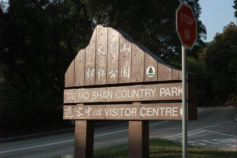
Some of the hiking trails are: Hiking Practice Trail, Chuen Lung Family Walk, and Lung Mun Country Trail. You can get information regarding the trails from the Official Visitors Centre of Tai Mo Shan Country Park. They have fitness test facilities and interpretation plates to provide basic hiking and safety knowledge.
A refreshment kiosk at Route Twisk Barbecue site will help you replenish your leg strength. Should you want a longer rest, you can choose to stay at the Rotary Club campsite (complete with picnic tables) where you can pitch your own tent.
To reach the Tai Mo Shan Country Park Visitor Centre, take Bus No. 51 at MTR Tsuen Wan Station, then get off at the bus stop near the junction of Route Twisk and Tai Mo Shan Road. Walk up Tai Mo Shan Road for 10 minutes. Fare costs HK$7.80. Remember to pay the exact amount as bus drivers don’t give change.
To indulge after a tiring hike, eat at famous Cantonese restaurants in New Territories such as Maxims Palace.